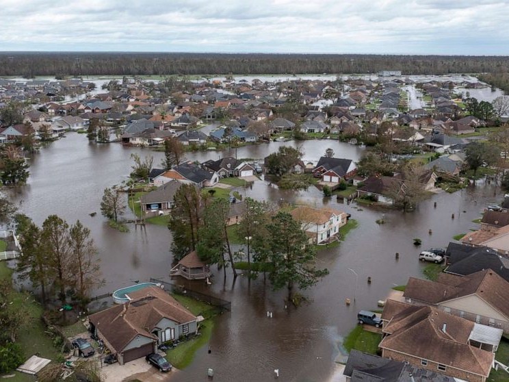
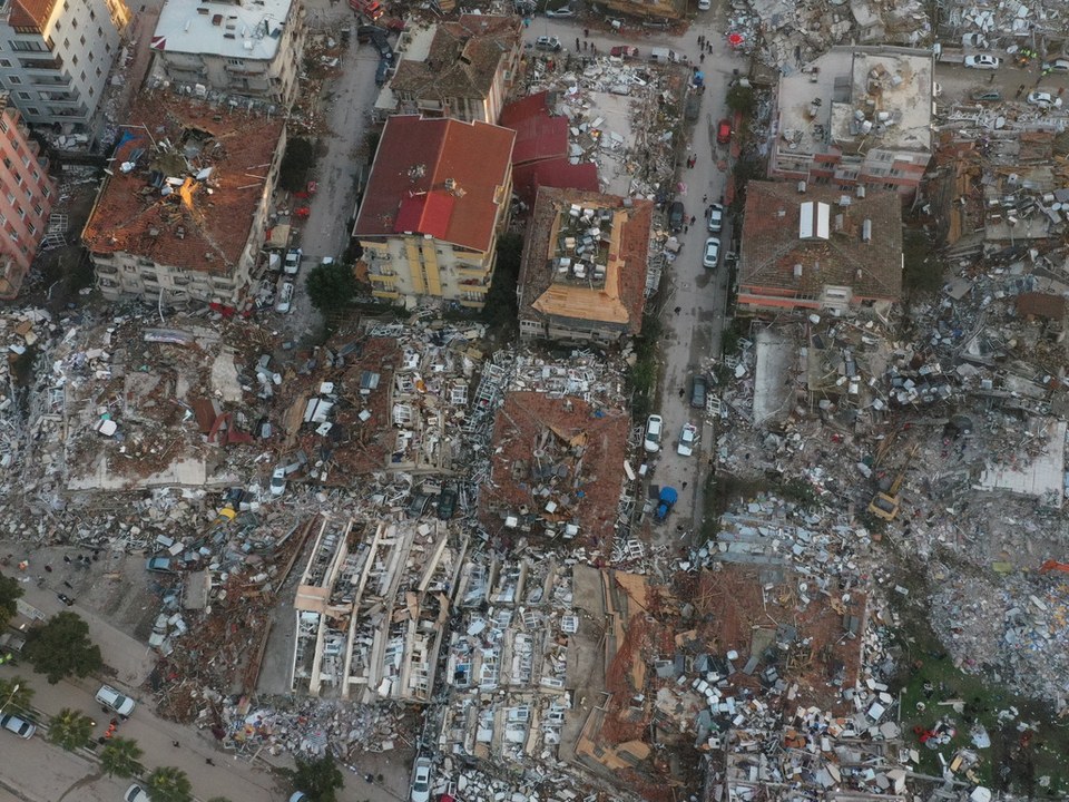
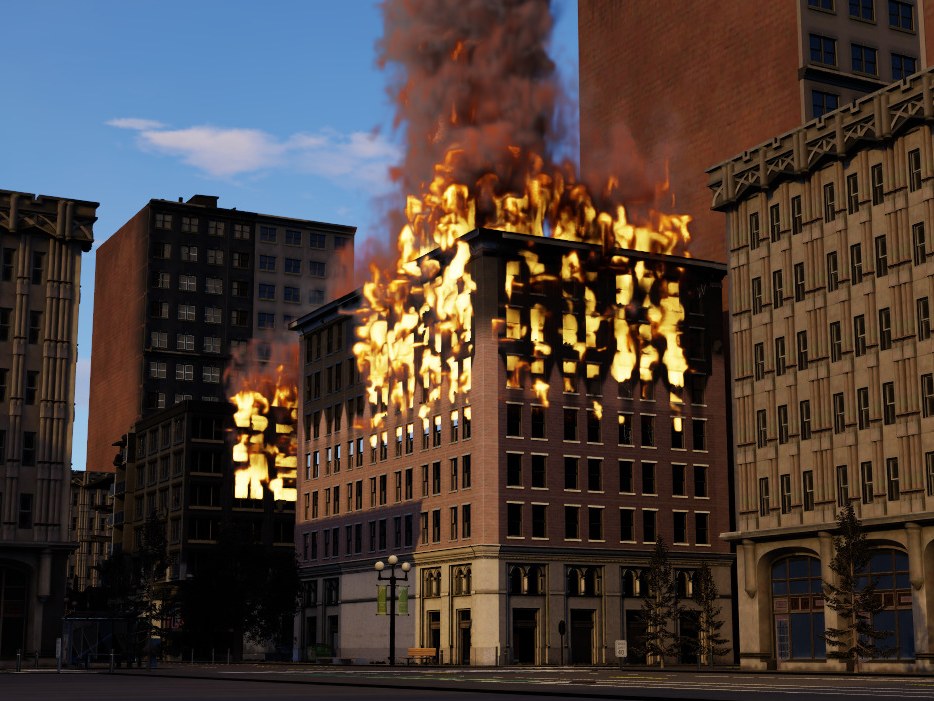
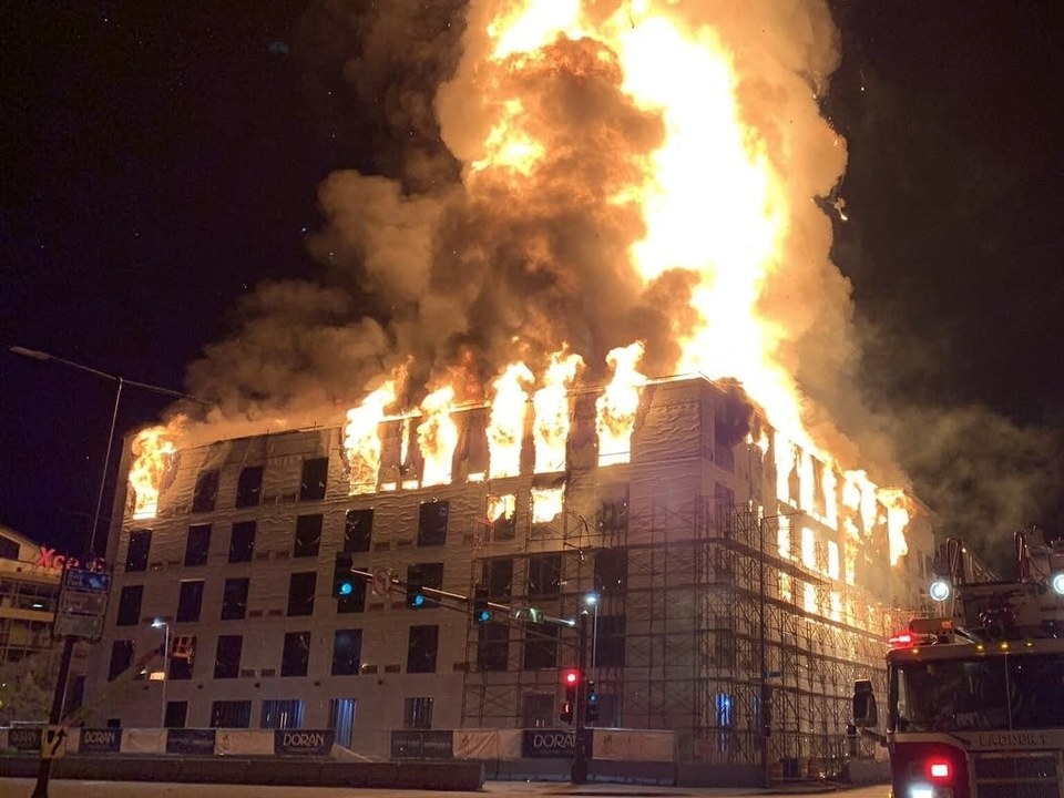
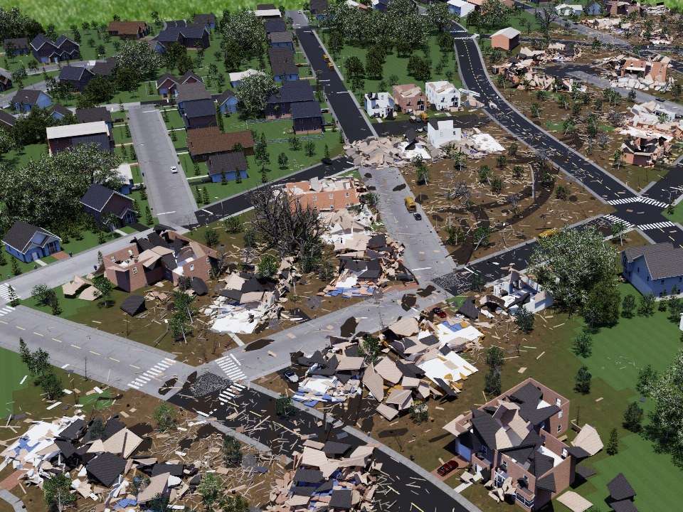
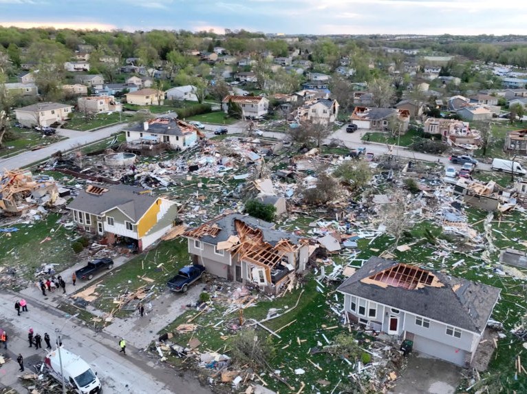
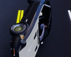
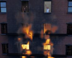
Photographs: Hurricane Ida (ABC News), Turkey–Syria earthquake (Reuters), St. Paul building fire (MPR News), Nebraska and Iowa tornadoes (PBS NewsHour).
4 disasters × 2 localities × 3 damage levels24 scene geometries × 5 survivor configurations120 environments1 km × 1 km per scene
After a large-scale disaster such as an earthquake or fire, responders must locate survivors across areas that are too dangerous to search directly or too large to search quickly. Robotic systems could provide this capability at scale, yet full-system development and evaluation in large-scale disaster environments are challenging because realistic physical trials are dangerous and difficult to reproduce.
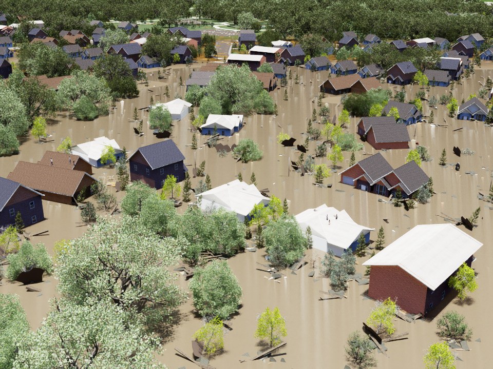
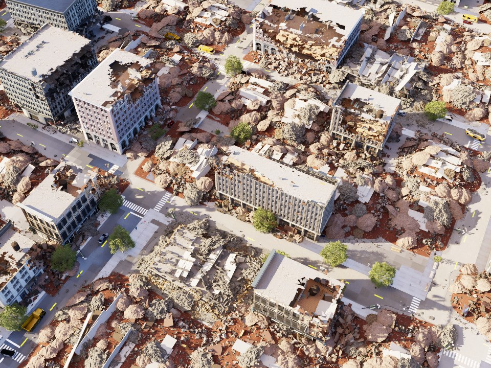
We present DisasterWorld, a benchmark for multi-target survivor search by a team of robots during the initial response phase. It provides procedurally generated scenes crossing 2 localities (urban and suburban), 4 disaster types (hurricane, tornado, fire, earthquake), and 3 damage levels, each paired with 5 sampled survivor configurations, for 120 released environments in total. Additional survivor configurations can be generated on demand without rebuilding the underlying scene. Scenes include physics-settled debris with active collision geometry and evidence-informed survivor locations, together with exact ground truth for survivors and damaged structures. By enabling repeatable multi-target search missions under a fixed mission budget across this range of settings, DisasterWorld evaluates complete autonomy systems using time-sensitive measures of survivor discovery and path efficiency.
Objective: Locate and report as many survivors as possible within time budget T.
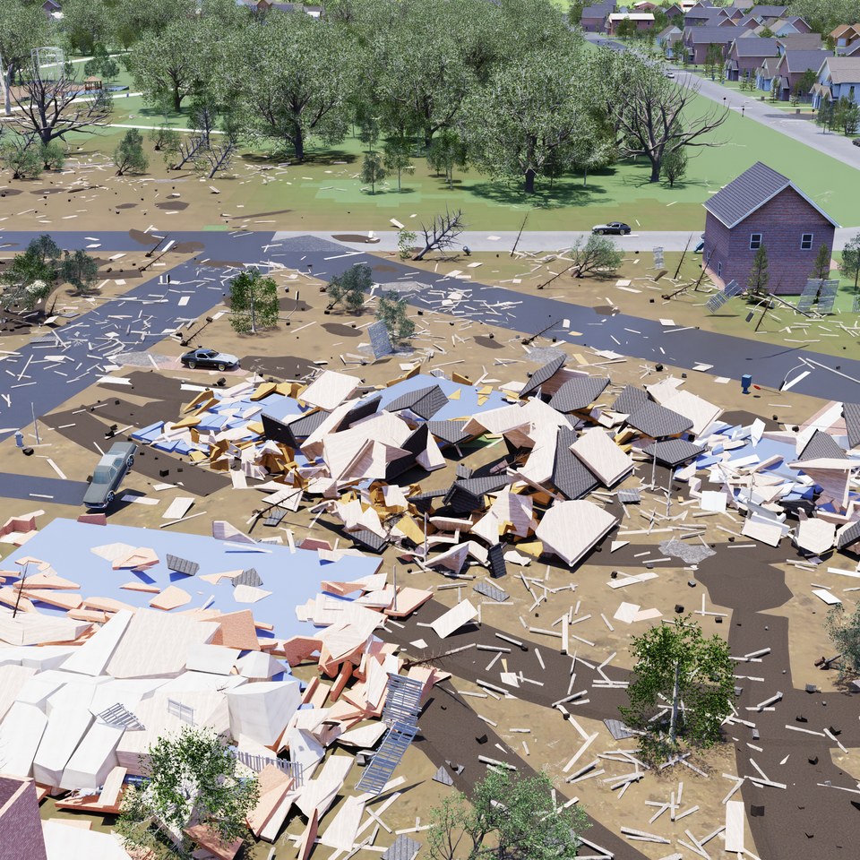 Example scene view
Onboard RGB-D
Estimated state & pose
Initially: starting pose
Optional search boundary
Next navigation objective
for each robot
Independent, distributed,
or centralized coordination
Visually detect a survivor
and report its location
Match reports to survivors
Credit the earliest valid
report per survivor
Policy restrictionsNo prior maps, scene geometry, damage annotations, survivor counts/locations, or other simulator-only state. All coordination information comes from permitted inputs.
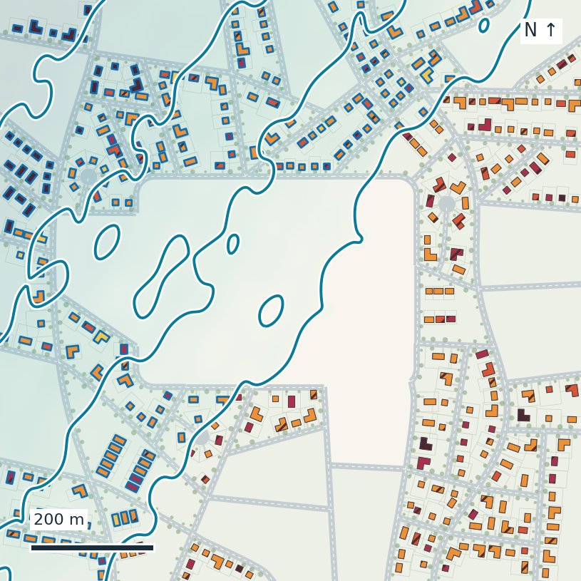
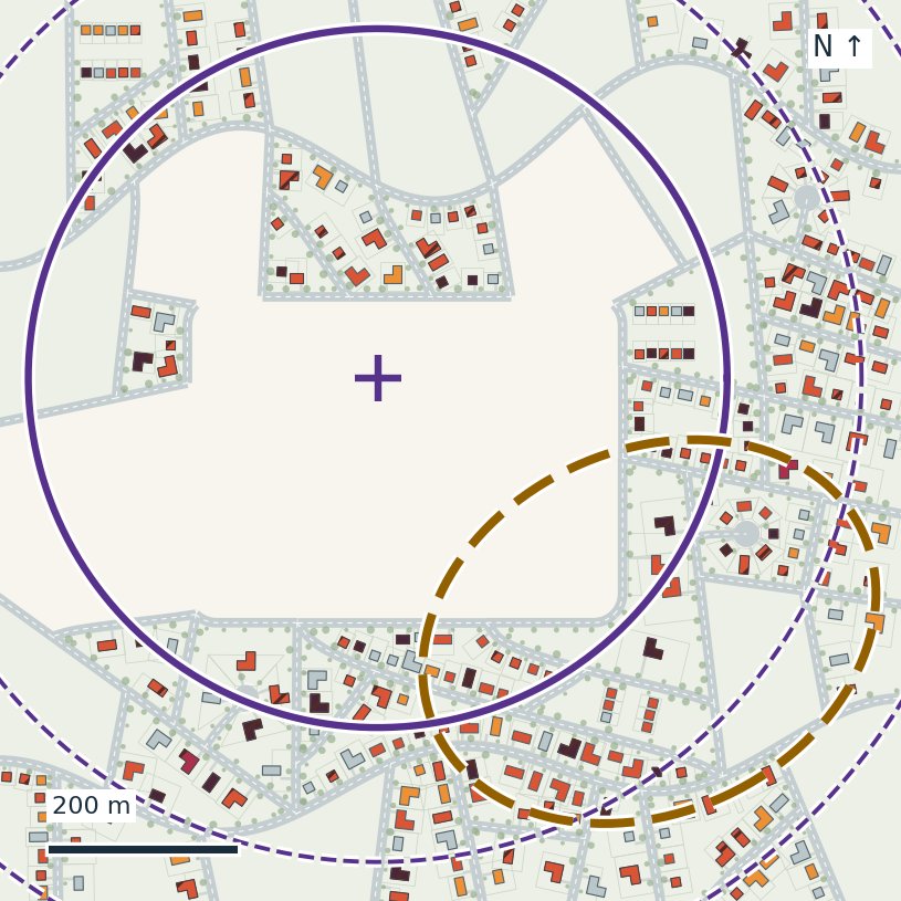
Each 1 km × 1 km scene begins as a seeded 2-D layout of roads, parcels, buildings, vegetation, vehicles, and public spaces, generated from summary statistics of OpenStreetMap data rather than copied from a single real location. A disaster model decides where damage occurs, the damage is applied to buildings and other scene elements, and physics simulation settles displaced objects and debris before the geometry is fixed. Scenes are assembled from Unreal Engine/Fab and Objaverse-XL assets and run in NVIDIA Isaac Sim, with a ready-to-use aerial-robot configuration built on AirStack.
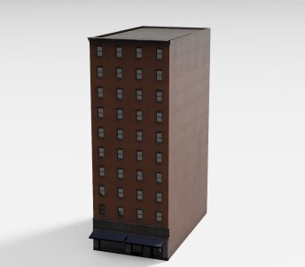

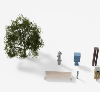
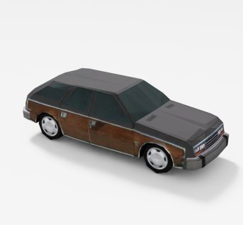
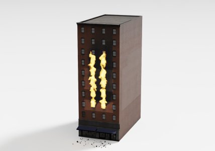
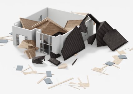
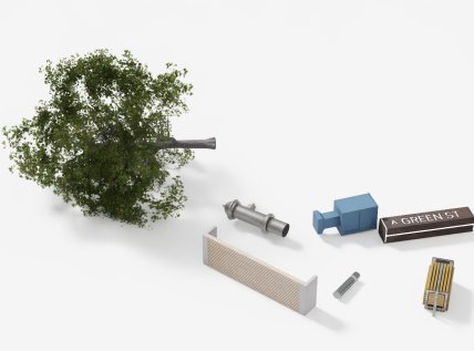
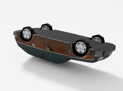
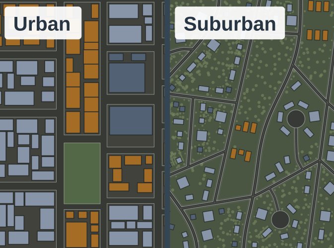
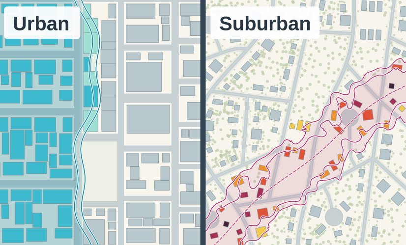
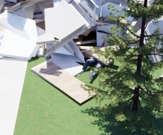
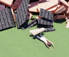
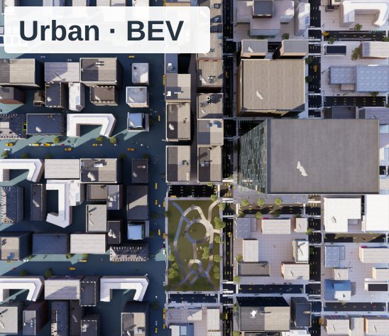
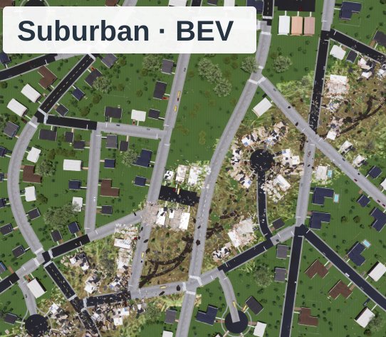
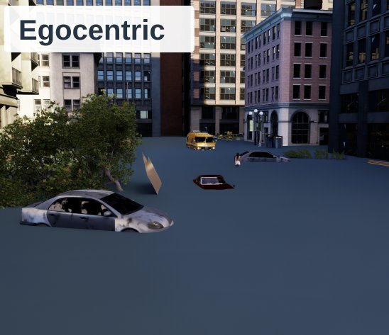
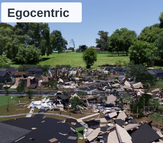
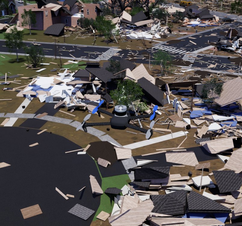
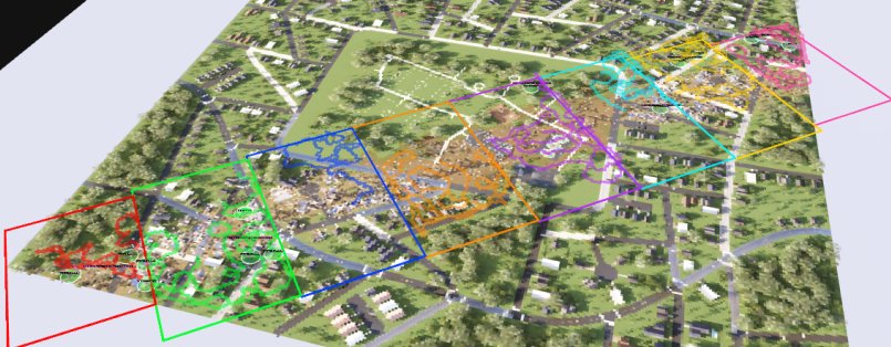
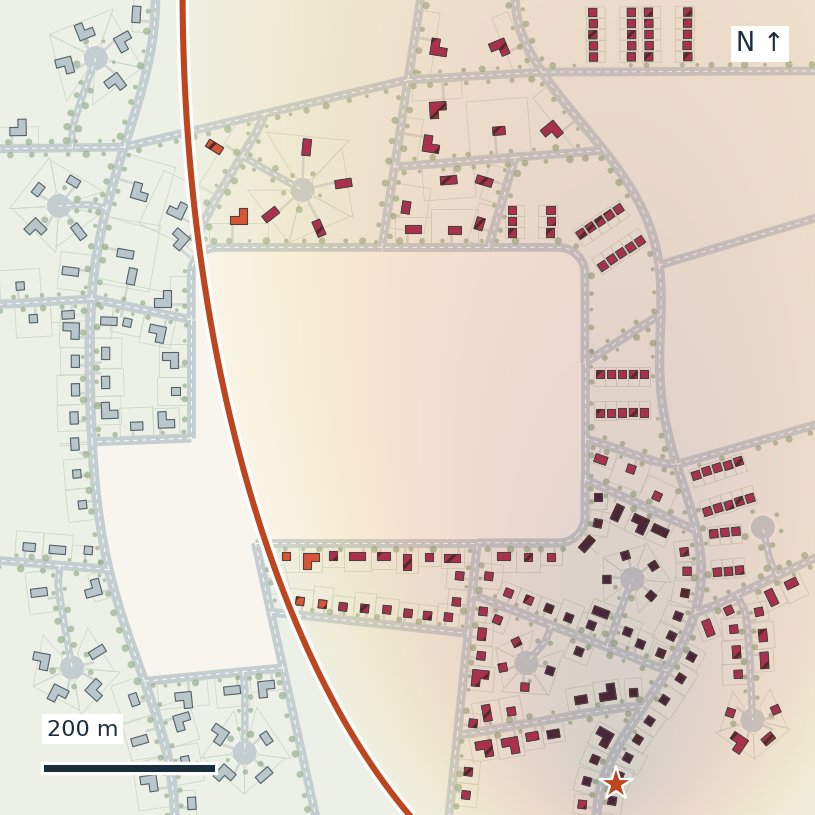
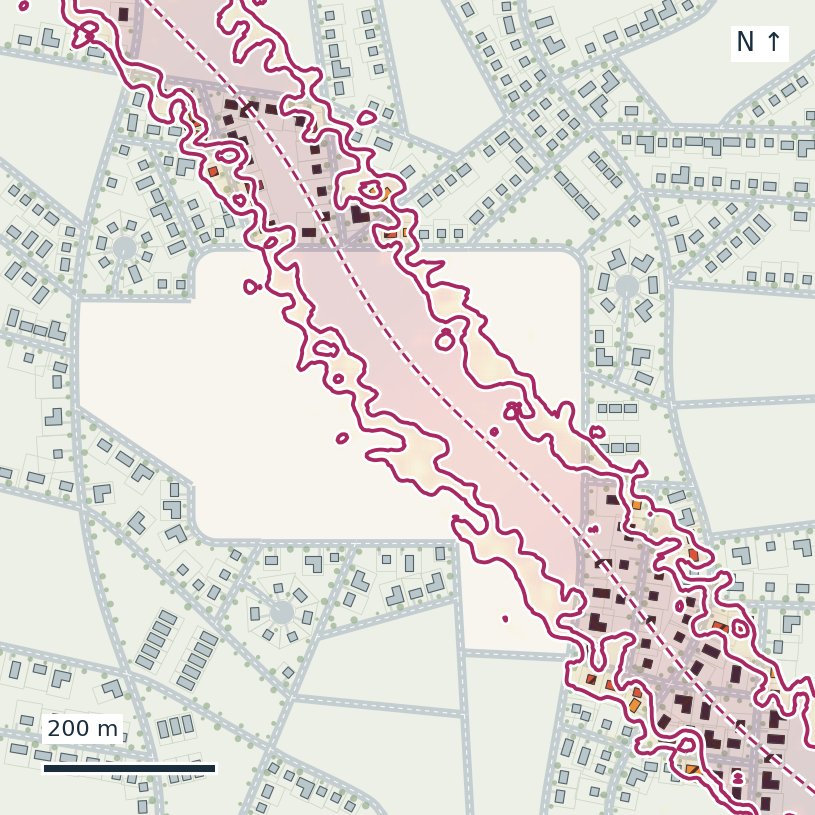
Each disaster model defines a spatial damage intensity over an otherwise intact layout. Local intensity is combined with object type, construction, and environmental conditions to assign structural damage states, informed by published damage scales and post-event studies.
 Urban
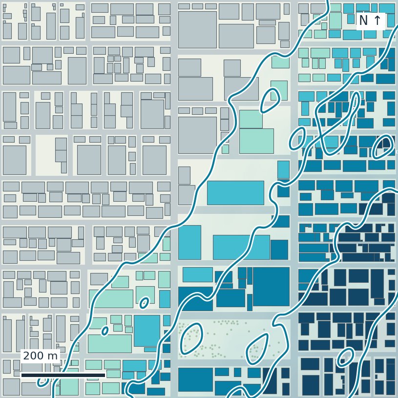
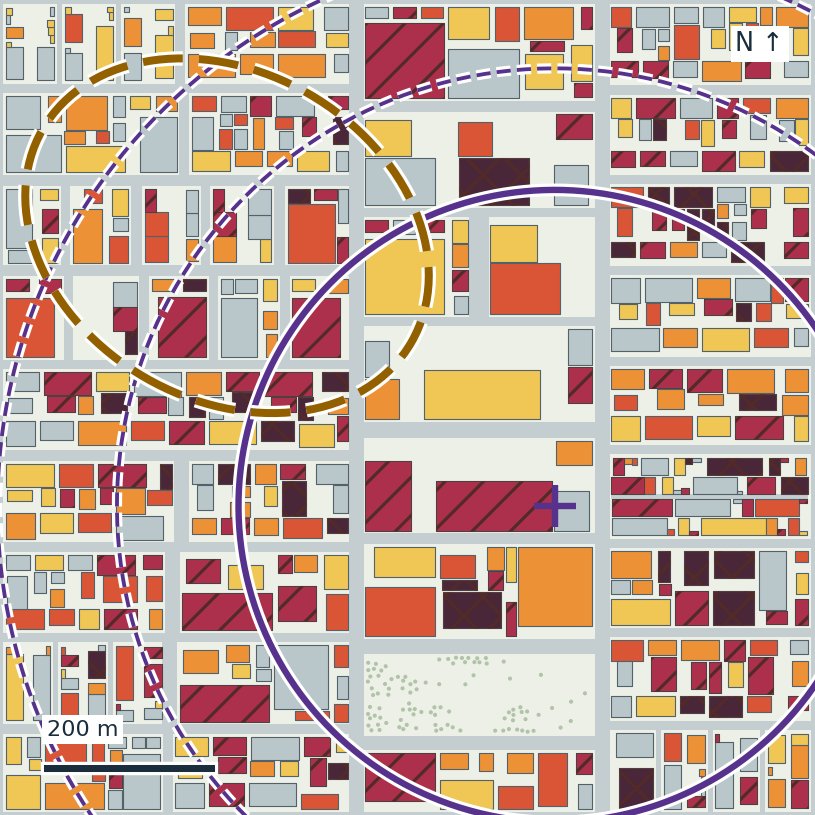
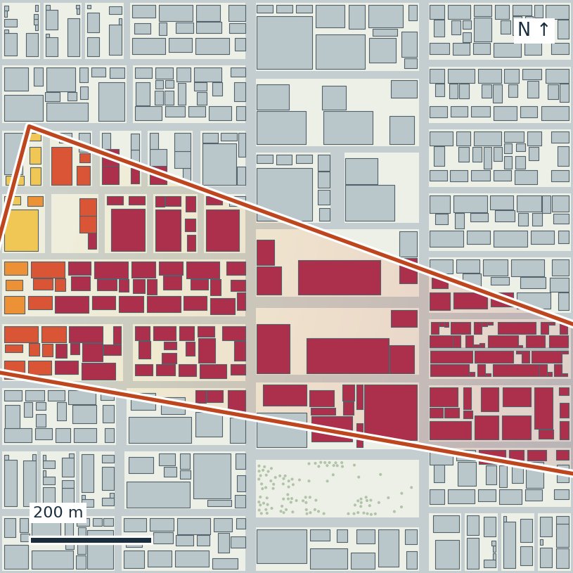
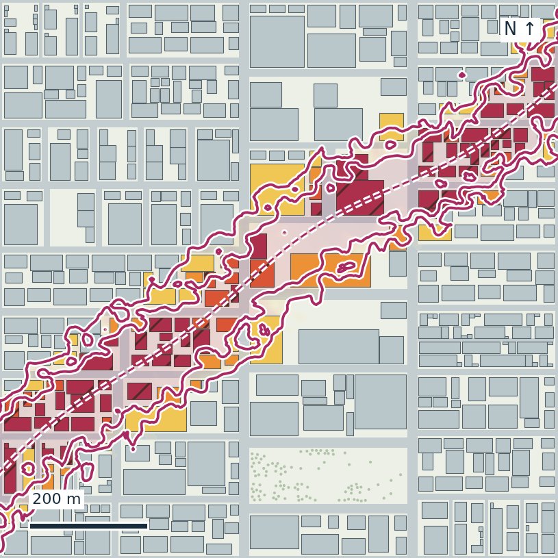
Survivors are added after the damaged geometry is fixed, so new placements can be sampled without rebuilding the scene. Locations, poses, and occlusions are sampled near damaged structures, debris, evacuation routes, and shelters, informed by post-event studies and agency reports. Each task is exported as a USD scene with JSON annotations giving the exact 3-D location, extent, pose, semantic label, and attributes of every survivor and scene element.
Because finding survivors sooner matters, the primary metric is Time-Integrated Progress (TIP), the normalized area under the curve of survivors found over time:
TIPi = 1 − 1⁄Ni ∑j tij / T
where tij is the time survivor j is first found (T if never). We also report Progress, the fraction of survivors found by the end of the mission, and Progress-weighted Path Length (PPL), which also rewards finding them with shorter routes.
We evaluate 5 search policies spanning systematic coverage, geometric exploration, and semantic object-goal navigation on 24 tasks (one survivor arrangement per scene, 1,122 survivors in total), with teams of 8 aerial robots running AirStack under a 600-second mission budget.
Evaluate your survivor-search system. Test perception, search planning, and multi-robot coordination across 120 environments spanning four disaster types, two localities, and three damage levels.
Use AirStack or bring your own stack. Scenes run in NVIDIA Isaac Sim. Use the provided AirStack configuration for aerial robots, or evaluate your own robot with its model, sensors, and autonomy stack.
Generate additional search tasks. Sample new survivor configurations on fixed damaged geometry without rebuilding the scene, enabling repeated experiments in the same environment.
Get help or report a problem. Reach out or raise an issue if you encounter any problems.
@article{jain2026disasterworld,
  title   = {DisasterWorld: A Benchmark for Survivor Search in
             Immediate Post-Disaster Response},
  author  = {Jain, Krrish and Yan, Muyang and Brewer, Steven and
             Wang, Wenshan and Kim, Seungchan and Scherer, Sebastian},
  journal = {arXiv preprint arXiv:XXXX.XXXXX},
  year    = {2026},
}